Weather for the subak
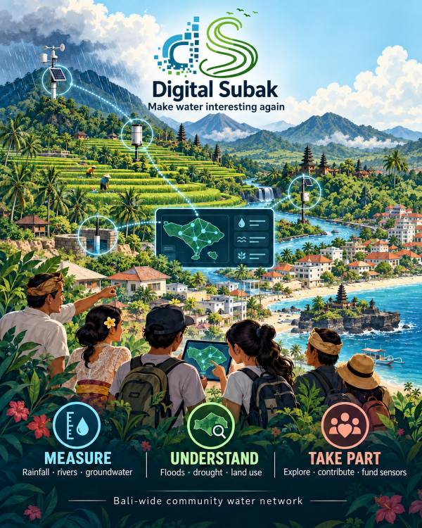
Subak is Bali's centuries-old way of sharing water between rice terraces. Digital Subak adds small weather stations to the landscape so farmers, communities and researchers can see rain, wind and sun as they happen, and plan water together.
Where the name comes from
Digital Subak takes its name from Bali's centuries-old subak system: the cooperative network of water temples and irrigation channels that has managed rice-field water sharing across the island for over a thousand years. Where the traditional subak coordinated water between farmers, this project aims to do something similar for data: bringing together weather and environmental readings from across Bali into one shared, open place.
The project began with a single Ecowitt weather station, and has since grown into a network pulling in temperature, humidity, wind, rainfall, solar radiation, UV index and tide data from stations across the island, shown on an interactive map.
Why it matters
Bali's microclimates vary sharply between its coastline, rice terraces and volcanic highlands. Having accessible, local environmental data helps farmers, fishers and anyone working outdoors make better day-to-day decisions, and makes it easier to spot broader patterns over time.
The stations
Each personal weather station (PWS) measures temperature, humidity, air pressure, wind, rain and sunlight every few minutes. The network starts with three stations from the coast to the mountain: Kedungu near the sea, Sarinbuana on the slopes of Batukaru and Island Organics higher up. Every station has its own page you can save to your phone.
How the data is checked
- Readings arrive from the Ecowitt cloud every 5 minutes and are stored exactly as received first.
- Automatic checks look for impossible values, sudden jumps, sensors stuck on one value, sunlight at night and rain in very dry air. Unusual readings are marked with ▲ and left out of totals; nothing is deleted.
- Daily totals follow the local day in Bali (WITA, UTC+8).
- The water balance compares 7 days of rain with the water that evaporates from a reference crop (ET₀, FAO-56 method). It is a guide for irrigation, not a measurement of your field.
More sensors
Each station is ready for extra sensors such as soil moisture or the water level in a well. Until one is installed its slot says Socket ready; the moment it sends readings they appear on the station page, checked like the weather data.
AI summaries
The short "Data interpreter" text on each station page is written by Google Gemini from the station's own numbers (never from names or reports people send). It is always labelled as AI. When the AI service is not available, a plain rule-based summary is shown instead. Always check the readings.
Tide and moon
Moon phase and sunrise/sunset are calculated. Tide times for coastal stations are predictions, not measurements.
Get involved
If you run a weather station on Bali, or represent an organisation that shares this project's goals, we would welcome the chance to work together. See our partners, or get in touch through the links at the bottom of this page. Anyone can help by sending a report about the weather, a river or a field near you.